There are several theories about the origin of the name Kiso Valley, but having grown up here, I can easily understand the theory that it refers to a land covered with trees.
Living here, I sometimes feel like exaggerating and saying, “There isn’t even a single square metre of flat land!” The valley is surrounded by steep mountains on all sides.
During the Edo period, the Nakasendo ran through the Kiso Valley along the Kiso River. Before that, however, the main route passed through the Ina Valley.
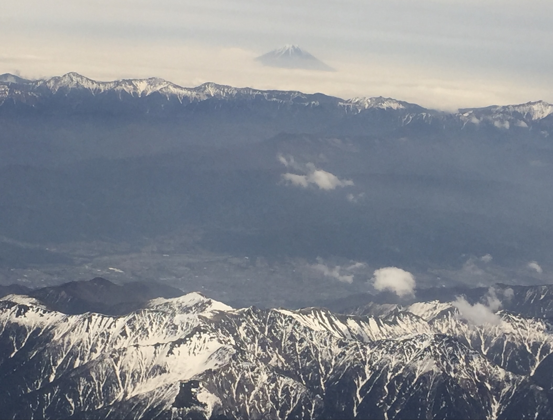
Please take a look at this photograph. I took it from an airplane in mid-May. Even in May, snow still remains on the mountains.
The mountain in the far distance is Mt. Fuji. The range in front of it is the Southern Alps, and the range closest to us is the Central Alps. The Ina Valley lies between the Southern and Central Alps, while the Kiso Valley lies on this side of the Central Alps.
Travellers walking between Tokyo and Kyoto along the Nakasendo had to cross these high mountains somewhere along the way. Even the lowest pass is approximately 1,000 metres above sea level.