The Shinkansen and the Nakasendo
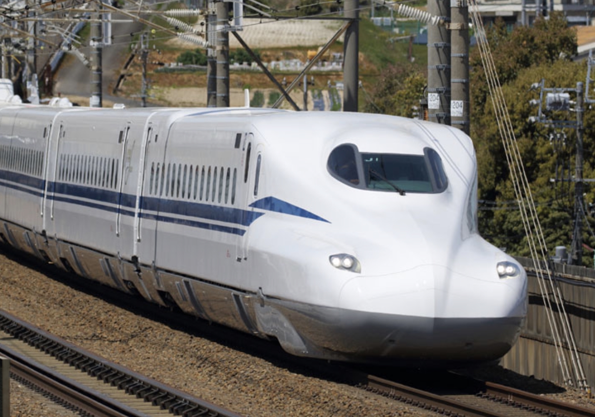
In 1964, the Tokaido Shinkansen—Japan’s famous bullet train—opened between Tokyo and Shin-Osaka. On a map, its route between Nagoya and Kyoto makes a noticeable curve northward through Sekigahara and Maibara instead of directly connecting the two cities. At the time, local people widely speculated that the route had been altered for political reasons, and the story is still told today.
Roads and railways do not always follow the shortest route. Geography, technology, politics, economics, and many other circumstances can influence their course.
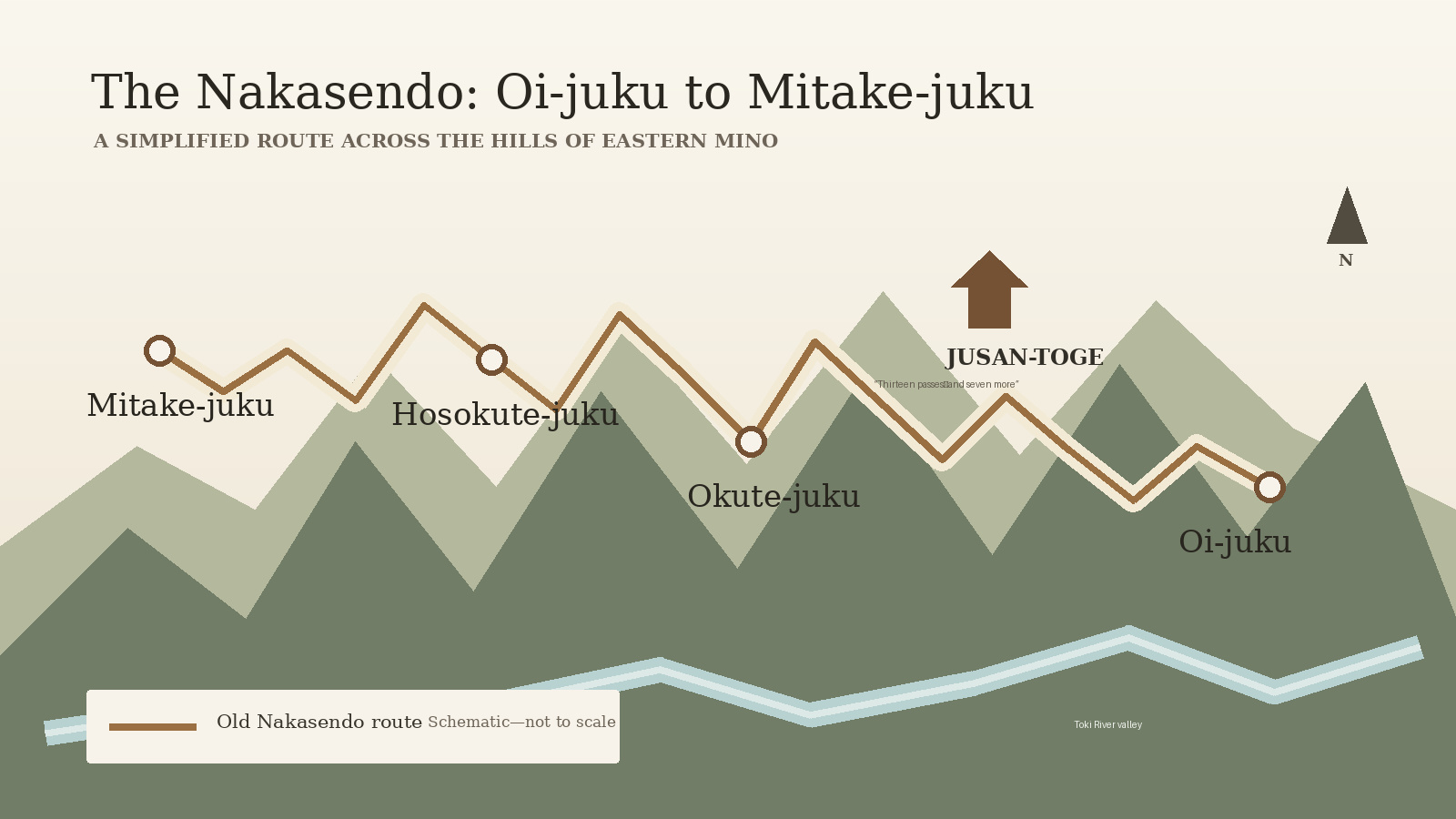
The Nakasendo also has an intriguing section. From Oi-juku, the road crosses the Jusan-toge hills and continues through Okute-juku and Hosokute-juku to Mitake-juku. Okute was established in 1604 and Hosokute in 1610.
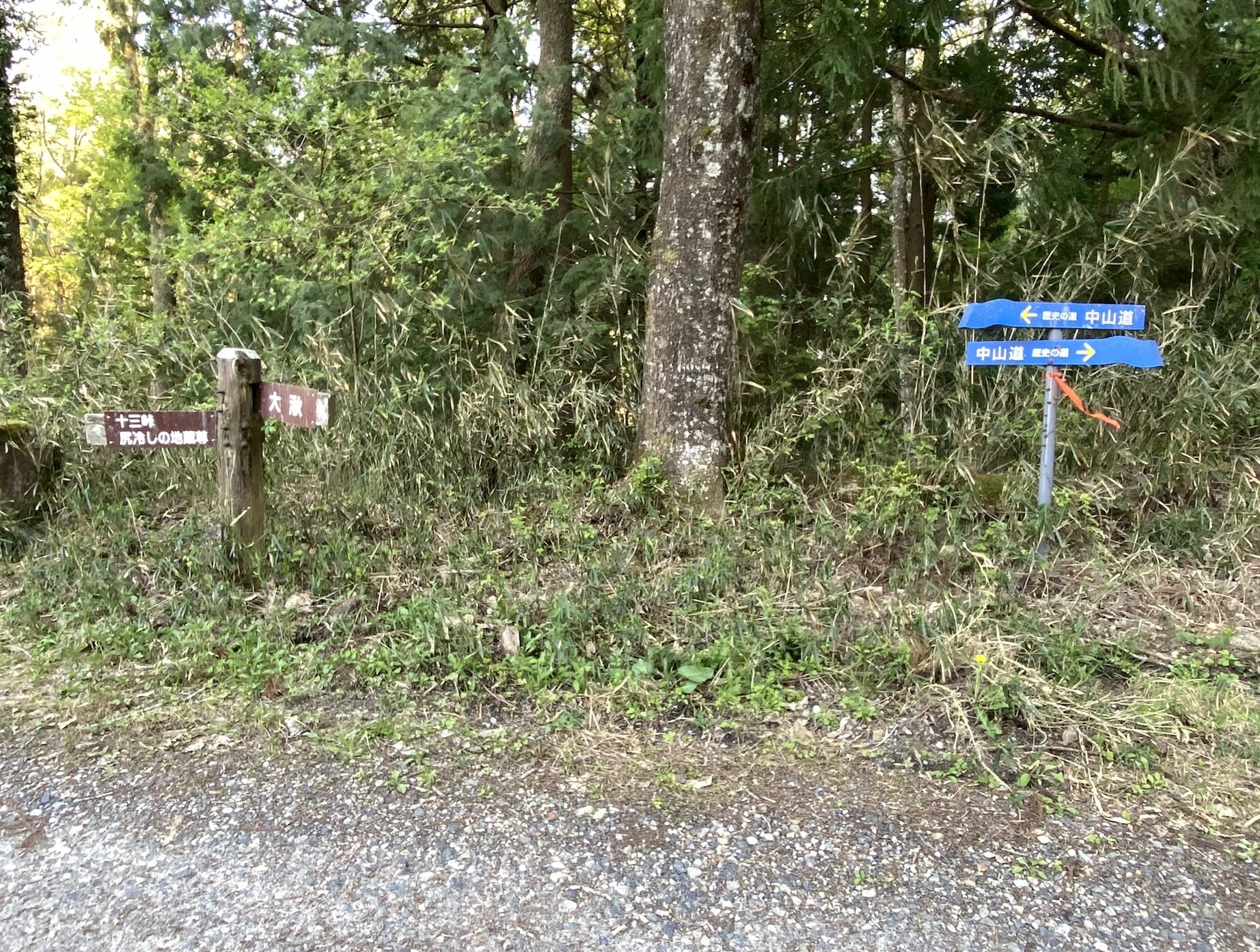
I have walked and cycled through this area many times, and the same question always comes to mind: Why did the Tokugawa shogunate designate such a difficult route as the official Nakasendo?
Jusan-toge is not a single major mountain pass. As the old saying goes, “Thirteen passes—and seven more for good measure.” The route repeatedly climbs and descends a seemingly endless series of hills. Between Oi-juku and Mitake-juku, the total elevation gain is about five times greater than on the easier routes along the Toki River.
After the Meiji era began, the main flow of traffic shifted from the hilltop Nakasendo to the Toki River valley. Today, the JR Chuo Line, National Route 19, and the Chuo Expressway all follow the river.
This makes it difficult to believe that Jusan-toge was chosen simply because it was the easiest route. The shogunate may have had political or military reasons, perhaps using the post-station system to control the movement of people, horses, and goods.
We cannot be certain. But after walking this route many times, one cannot help wondering whether it was selected for reasons other than convenience.